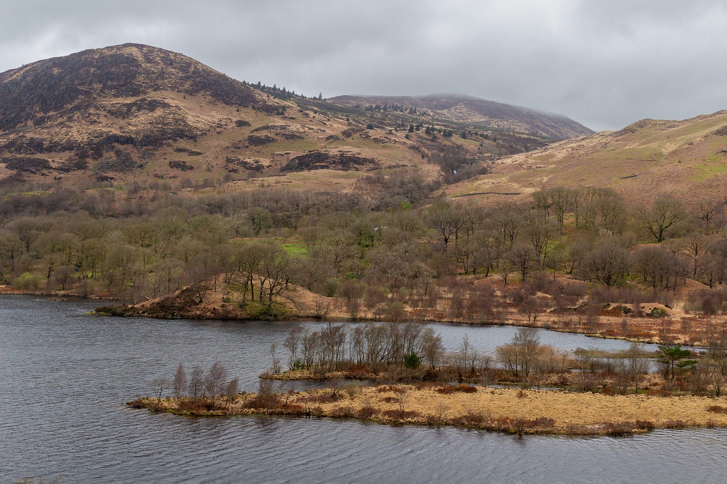
A couple of weeks ago, I wrote about writing guidebooks and featured my biggest tome to date, Outstanding Walks Scotland. One of the walks I included in that was a circuit of Loch Trool in Dumfries and Galloway, southern Scotland. As I am busy preparing for more walks research travel, I thought I’d share a video I shot last year while researching this walk. It’s a bit amateurish, but I hope will give you a laugh. I’ve left in one clip that shows that filming oneself single handed isn’t that easy!
Walk location
Loch Trool arguably the finest short walk in Dumfries and Galloway. For a modest distance and moderate effort, you enjoy the most outstanding views across Loch Trool to the surrounding peaks, from many different angles as you circuit the loch. The highest hill in Southern Scotland, the Merrick, rises on the north side of the loch.
The loch lies at the heart of Galloway Forest Park, which was established in 1947 and covers 299 square miles (774 sq km). Often referred to as ‘the Highlands of the Lowlands’, the Park encompasses ranges of open hills as well as conifer plantations and ancient native woodlands. Glentrool Visitor Centre (closed in winter) has interpretation and a café and is passed on the drive to the walk’s start.
Initially, the walk follows the Southern Upland Way. It diverges from it at Glenhead, to the east of the loch, then runs through Glentrool Oakwoods. They are designated a Site of Special Scientific Interest because they contain a pure gene pool of sessile oak as well as other trees and shrubs of the western upland woods that originally covered much of the Atlantic fringe of Scotland.
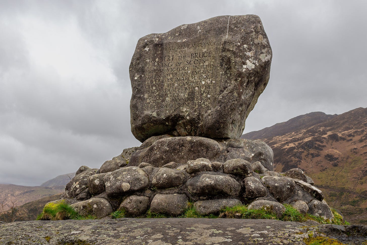
The area around Loch Trool is associated with some of the most momentous events in Scottish history. A short distance from the start is the Martyr’s Tomb, marking the place where six Covenanters were executed in 1685. The route later passes the site of a battle between the Scots and English in 1307, and Bruce’s Stone which commemorates Robert the Bruce’s victory in that battle.
Walk highlights
The Southern Upland Way, opened in 1984, was the UK’s first officially recognised coast-to-coast long-distance route. From its west end in Portpatrick, overlooking the Irish Sea, it stretches for 214 miles (344km) to Cockburnspath, in the Scottish Borders. It often runs over the tops of the hills rather than through the valleys, but in this section it undulates up and down close to the loch shore.
The Battle of Trool was the first action in the long campaign Robert the Bruce fought before securing the crown of an independent Scotland. With only 300 men he defeated and English army of 1500 cavalry by ambush. He lured the army along the steep south shore of the loch then rolled boulders on to them from the crags above, knocking them into the water.
Bruce’s Stone, on the other side of the water, is a large granite boulder erected in 1929 to commemorate the battle. It is a splendid viewpoint with panoramic views of the loch and the outward route. Nearby the Buchan Waterfalls tumble down the hillside, draining the southern flanks of Merrick.
The Covenanters were Scottish Presbyterians who objected to English Anglican interference in their worship. When Charles II was restored to the throne in 1660, many ministers refused to accept him as head of the Church of Scotland. They left their parishes and held illegal outdoor services. Southern Scotland saw many Covenanters executed during what was know as the Killing Time. The six buried in the Martyr’s Tomb were caught praying and shot on the spot.


Share this post